Approximate Location Map
Large Map »
Latitude: 51.3589 / 51°21'32"N
Longitude: 0.3519 / 0°21'6"E
OS Eastings: 563848
OS Northings: 164833
OS Grid: TQ638648
Mapcode National: GBR NNH.RT1
Mapcode Global: VHJLY.13XK
Plus Code: 9F329952+HQ
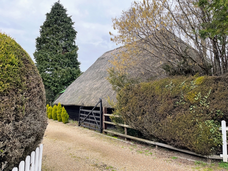
Entry Name: Leylands Barn
Listing Date: 26 July 1983
Grade: II
Source: Historic England
Source ID: 1350206
English Heritage Legacy ID: 356831
ID on this website: 101350206
Location: Meopham Green, Gravesham, Kent, DA13
County: Kent
District: Gravesham
Civil Parish: Meopham
Built-Up Area: Meopham
Traditional County: Kent
Lieutenancy Area (Ceremonial County): Kent
Church of England Parish: Meopham St John the Baptist
Church of England Diocese: Rochester
Tagged with: Barn
TQ 66 SW MEOPHAM WROTHAM ROAD
7/102 (west side)
Leylands Barn
II
C17. Three bays. Aisle on south side. Oak timbers. Weatherboarded and thatched.
Posts with jowls and curved struts. Collar roof without posts to tie beams.
Listing NGR: TQ6418865341
External links are from the relevant listing authority and, where applicable, Wikidata. Wikidata IDs may be related buildings as well as this specific building. If you want to add or update a link, you will need to do so by editing the Wikidata entry.


Other nearby listed buildings
