Approximate Location Map
Large Map »
Latitude: 51.7529 / 51°45'10"N
Longitude: -3.3882 / 3°23'17"W
OS Eastings: 304274
OS Northings: 206933
OS Grid: SO042069
Mapcode National: GBR HN.0NH9
Mapcode Global: VH6CY.765K
Plus Code: 9C3RQJ36+5P
Entry Name: Grawen
Listing Date: 13 January 1988
Last Amended: 13 January 1988
Grade: II
Source: Cadw
Source ID: 11403
Building Class: Domestic
ID on this website: 300011403
Location: Projecting into street opposite SW corner of Cyfarthfa Park.
County: Merthyr Tydfil
Community: Park (Parc)
Community: Park
Built-Up Area: Merthyr Tydfil
Traditional County: Glamorgan
Tagged with: Building
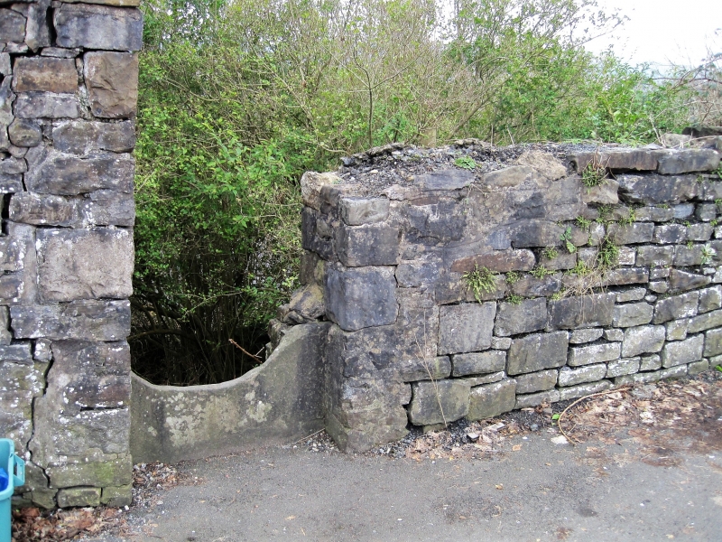
Built between 1836 and 1851. Probably former toll-house with 3-sided canted bay forward to street.
2-storey partly coursed, rubble bay with ashlar dressings and projecting hipped slate roof. Rectangular dripmoulds over plain window openings, modern glazing, blind window over modern door with dripmould. Plinth. Short screen walls to left and right. 3-storey rear with steep fall in ground.
External links are from the relevant listing authority and, where applicable, Wikidata. Wikidata IDs may be related buildings as well as this specific building. If you want to add or update a link, you will need to do so by editing the Wikidata entry.


Other nearby listed buildings
