Approximate Location Map
Large Map »
Latitude: 51.7984 / 51°47'54"N
Longitude: -3.7194 / 3°43'9"W
OS Eastings: 281528
OS Northings: 212484
OS Grid: SN815124
Mapcode National: GBR Y7.XXQL
Mapcode Global: VH5G3.H215
Plus Code: 9C3RQ7XJ+96
Entry Name: Pont-y-Yard
Listing Date: 6 November 1979
Last Amended: 4 December 2001
Grade: II
Source: Cadw
Source ID: 7468
Building Class: Transport
ID on this website: 300007468
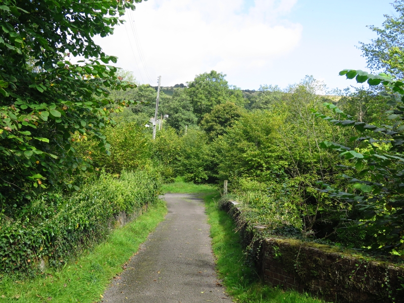
Location: Situated some 100m S of the main road, across waste land, and just NW of Yard House.
County: Powys
Town: Swansea
Community: Tawe-Uchaf
Community: Tawe-Uchaf
Locality: Abercraf
Traditional County: Brecknockshire
Tagged with: Architectural structure
Former tramway bridge of c1823-4 across the Tawe, now providing road access to Yard House (listed under Tawe Uchaf community). The bridge was built for Daniel Harper of the British Iron & Coal Co. (later Abercrave Colliery Co.) for a coal tramroad down from the Level Fawr colliery. The original intention was for the bridge to be an aqueduct so that coal could be loaded onto boats and sent to the Swansea Canal across the valley. Instead the coal was brought to The Yard, the wide open space by the river, and thence transhipped to the canal. Yard House was the manager's house. The stone abutment of an earlier timber bridge noted to W of S end of bridge in 1977 was not identifiable at time of survey, possibly overgrown or washed away.
Bridge, rubble stone, single very high arch over river with grey cut stone voussoirs. Spandrels have small pierced holes also with grey stone voussoirs. Projecting course under rubble parapets with stone coping, some replaced in concrete. Splayed abutments almost all rebuilt in C20, in concrete to both N end splays, red brick to SE splay.
Included as an impressive single-span bridge, and for industrial archaeological interest.
External links are from the relevant listing authority and, where applicable, Wikidata. Wikidata IDs may be related buildings as well as this specific building. If you want to add or update a link, you will need to do so by editing the Wikidata entry.


Other nearby listed buildings
