Approximate Location Map
Large Map »
Latitude: 50.1198 / 50°7'11"N
Longitude: -5.5304 / 5°31'49"W
OS Eastings: 147732
OS Northings: 30383
OS Grid: SW477303
Mapcode National: GBR DXQC.HKX
Mapcode Global: VH12Z.3840
Plus Code: 9C2P4F99+WR
Entry Name: Albert Pier
Listing Date: 6 March 2003
Grade: II
Source: Historic England
Source ID: 1350358
English Heritage Legacy ID: 490125
ID on this website: 101350358
Location: Penzance, Cornwall, TR18
County: Cornwall
Civil Parish: Penzance
Built-Up Area: Penzance
Traditional County: Cornwall
Lieutenancy Area (Ceremonial County): Cornwall
Church of England Parish: Penzance St John the Baptist
Church of England Diocese: Truro
Tagged with: Architectural structure
PENZANCE
866/0/10029 Albert Pier
06-MAR-03
GV II
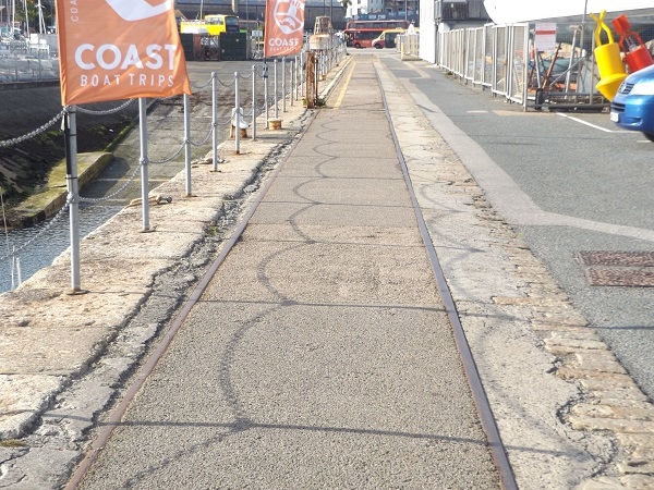
Harbour pier. 1845; extended 1853. Granite ashlar. Long straight pier with south end curving into harbour, where the outer side has raised wall and the inner side has integral recessed steps. In 1846 Prince Albert landed at the pier and it was renamed Albert Pier.
One of an unusually complete group of harbour structures in Penzance.
External links are from the relevant listing authority and, where applicable, Wikidata. Wikidata IDs may be related buildings as well as this specific building. If you want to add or update a link, you will need to do so by editing the Wikidata entry.


Other nearby listed buildings
